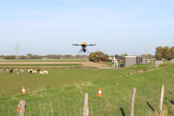
With the help of T&A Drone Services' drones, the environment can be monitored for erosion, land degradation and the encroachment of invasive species. Pollution and environmental disasters can be monitored and the appropriate restorative action plans can be identified and carried out.
Drones offer a time and cost-effective means of collecting high resolution data for environmental survey and monitoring purposes. The use of a drone allows the inspection of areas which are otherwise difficult or dangerous to access. Drones can also cover a vaster area compared to conventional survey methods.
The high-res images transmitted by the drone can be viewed in real-time or immediately after flight. If necessary, more detailed on the spot inspections can be carried out. Since the flight plans are based on GPS positions, they can be repeated on a regular basis for purposes of comparison, analysis and planning.
 With the help of T&A Drone Services' drones, the environment can be monitored for erosion, land degradation and the encroachment of invasive species. Pollution and environmental disasters can be monitored and the appropriate restorative action plans can be identified and carried out.