Geophysical techniques

There are various techniques for mapping the subsurface or constructions. Based on our knowledge and practical experience we determine which technique will be most succesful for each investigation. Important factors to take into consideration are for example depth, specific circumstances, precision, measurement speed and costs.

Performing a detection

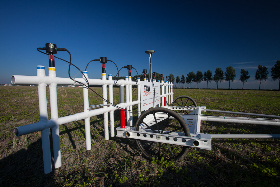
The measurements are taken by moving the equipment on foot or with a a quad or boat, over the research area. Sometimes the research equipment has to be brought closer to the research goal, for example by using a borehole. All geophysical techniques used are non-destructive, making the location immediately accessible afterwards. Sometimes locations are partially cordoned off.

UXO detection techniques

The geophysical techniques used for UXO detection respond to changes in the soil caused by the presence of metallic objects. All our detection techniques have been tested worldwide and found suitable for the detection of explosives.

Measurement results

The results are usually not immediately available on site. The data is analyzed in the office and then reported. Depending on the purpose of the research, this is done in an overview map, a cross section or a contour map of the subsurface.

(UXO) Detection techniques commonly used by T&A are:

  • TISA 2D Borehole Radar
  • TISA 3D Borehole Radar 
  • 3D Radar
  • Borehole magnetometer (CPT) 
  • Borehole metaldetector 
  • EM-61 Metal Detector 
  • Ground Penetrating Radar 
  • Manual metal detector  
  • Magnetometer and Gradiometer 
  • Multisonde gradiometer 
  • NanoTEM 
  • Sidescan sonar 
  • Sub-Bottom Profiler 


<