Geophysical research maps the subsurface and constructions in the subsurface, usually without having to drill or dig. The depth of the investigation can vary from a few centimetres to many kilometres.
Why T&A for geophysical surveys?
T&A provides clear and independent information about the possibilities of geophysical research.
T&A has dozens of geophysical measuring instruments and is therefore able to use the optimum technique or combination of techniques to deliver the best results for every problem.
Solutions to problems regular methods are unable to solve.
Reduced risks of unexpected deviations (objects) in the subsurface, which can cause extra costs and delays.
The use of on-destructive techniques reduces inconvenience to the surroundings.
T&A maintains intensive contacts with universities and scientific institutions, combining theoretical knowledge with practical experience.
Dike inspections
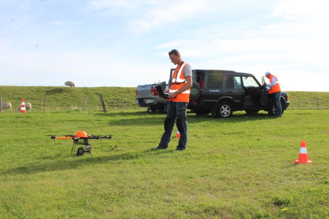
Weak spots in dikes can be detected quickly and efficiently with geophysical dike research. This can be done from ground level, but also from the air with the help of a drone.
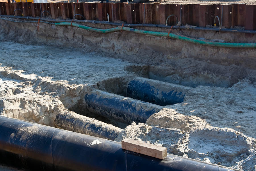
Geophysical survey can be used to detect foreign objects in the ground, for example in infrastuctural and archaeological projects or landfill investigations. Foreign objects in the subsurface can usually be detected because they have different properties than the surrounding material.
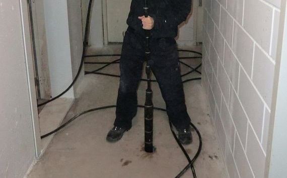
Borehole research takes place if geophysical research from ground level is not possible. T&A performs measurements with logging equipment and maps the properties of the borehole and its immediate surroundings.
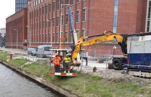
T&A performs geotechnical research, depth detection, the determination of the length of sheet piling or the location of anchor rods using a magnetometer cone. A CPT (Cone Penetration Test) rod with a built-in magnetometer is pressed into the ground in a controlled manner using a CPT truck or CPT platform.
Application in geological and hydrological investigation
Geophysical survey techniques make it possible to map the geological structure of the subsurface to a depth of several kilometres. A continuous image of the underground is created without having to do numerous deep drillings or probings.
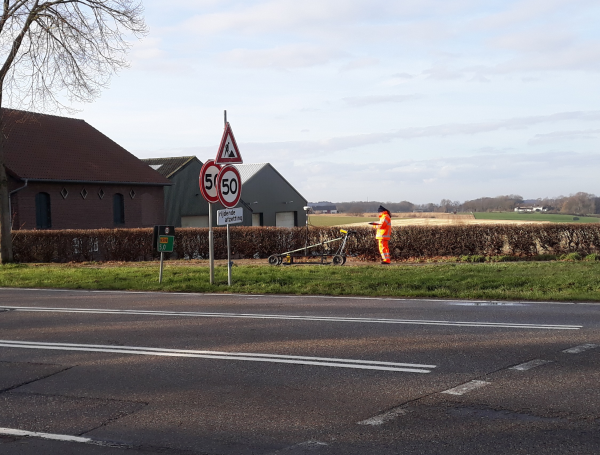
There are various techniques for mapping the subsurface or constructions. Based on our knowledge and practical experience we determine which technique will be most succesful for each investigation. Important factors to take into consideration are for example depth, specific circumstances, precision, measurement speed and costs.