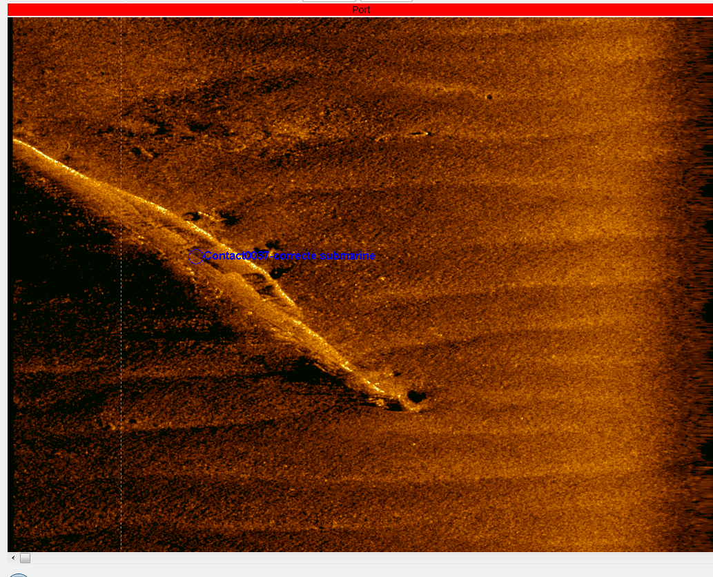
 Inshore and offhore surveys often have more than one goal, combining geophysical research of archaeological remains or explosives, depth measurements, environmental survey or inspection with divers. By combining these surveys, T&A provides a complete picture of the seabed in a more efficient way, saving both time and costs. For combined survey T&A works together with ADC Maritiem (marine archaeology) and Baars-CIPRO (diving and water bottom research).