With offshore and inshore surveys T&A maps the bottom of the sea, rivers, canals and lakes using hydrographic and geophysical measurement techniques. To perform these surveys, we have hydrographic and geophysical experts, various survey vessels and a team of UXO certified divers.
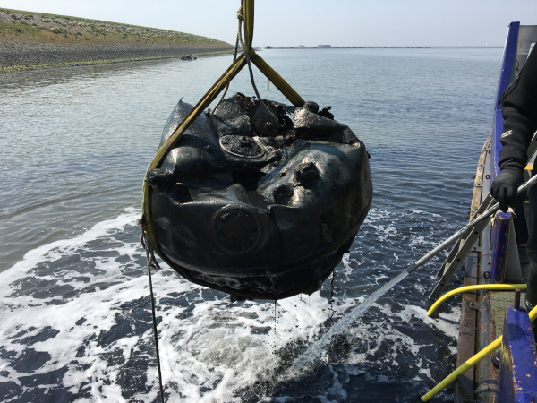
All soil surveys can also be performed in the water bottom, including UXO research, detection of cables, tubes and obstacles, archeology and contamination research. We also perform hydrographic research such as the determination of sludge layer thickness, soundings, quay and jetty surveys. All surveys can be combined for a more complete picture of the water bottom.
Why choose T&A for offshore and inshore surveys?
T&A has its own team of UXO divers specialized in explosives detection on or in the water bed.
T&A has its own hydrographic and geophysical experts
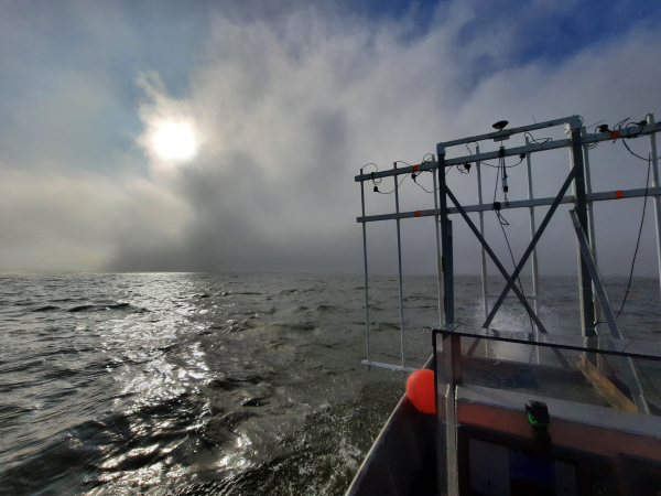
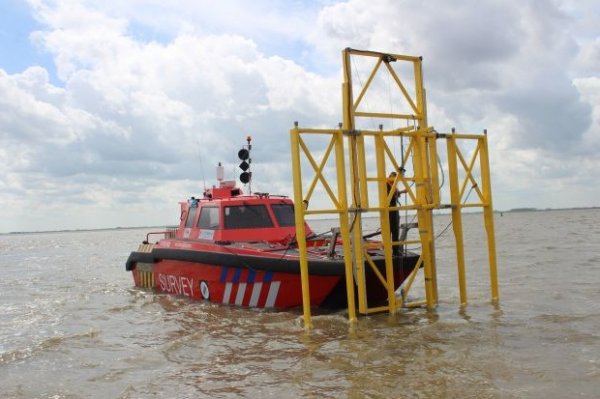
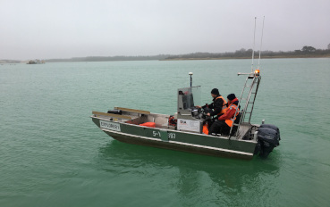
T&A has its own fleet of survey vessels which can be used both at sea and in very shallow and narrow waterways. No area is inaccessible!
T&A has many hydrographic and geophysical measurement techniques and is therefore able to use the optimum (combination of) techniques to solve every problem.
At T&A, UXO experts, geophysicists, environmental specialists, archaeologists and historians work together combining all areas of expertise.
The number of objects suspected of being UXO can be reduced to a minimum through combined surveys, so fewer objects need to be approached.
UXO investigation
Inshore and Offshore UXO surveys of the water bottom have to be carried out if work is planned in areas with a high risk of encountering WWII explosives. For example, during the construction of wind farms, the laying of cables and tubes in the water bed, sand mining or dredging.
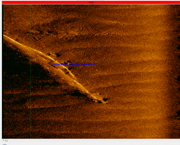
Hydrographic survey is the mapping of the seabed or water bed to detect foreign objects and soil layers. T&A Suveys' hydrographic an geophysical experts perform these survey using hydrographic and geophysical measurement techniques and survey vessels.
Inshore and offhore surveys often have more than one goal, combining geophysical research of archaeological remains or explosives, depth measurements, environmental survey or inspection with divers. By combining these surveys, T&A provides a complete picture of the seabed in a more efficient way, saving both time and costs.
T&A has its own fleet of survey vessels with which we can carry out seabed research both at sea and in very shallow and narrow waterways. No area is inaccessible to us!
certificering.png)