T&A Survey’sTISA 2D is a simple, safe and clear way to receive data about the subsurface. The TISA 2D can be used in various shallow and deep underground applications where surface radar operation is not feasible.
2 Antennas in 1 borehole
What makes TISA 2D unique is its reflection mode, where both antennas are located in a single tool inside the same borehole. The transmitted pulses are reflected by a nearby object and detected by the receiver antenna. The depth of the antenna system and the measured pulse two-way travel time defines the 2D position of the detected object.
GPR in built environments
Dense urban environments present different challenges than open, unobstructed areas where ground penetrating radar (GPR) is usually applied. What if the buried object is under a concrete slab or under a building? TISA 2D BHR can detect such targets. When there is a contrast of electromagnetic properties between the target and its surroundings, it is possible to isolate and precisely locate the buried object.
Applications of TISA 2D
TISA 2D can be applied in any circumstances where objects or structures located in the subsurface have different electromagnetic properties to their surroundings. Common applications are:
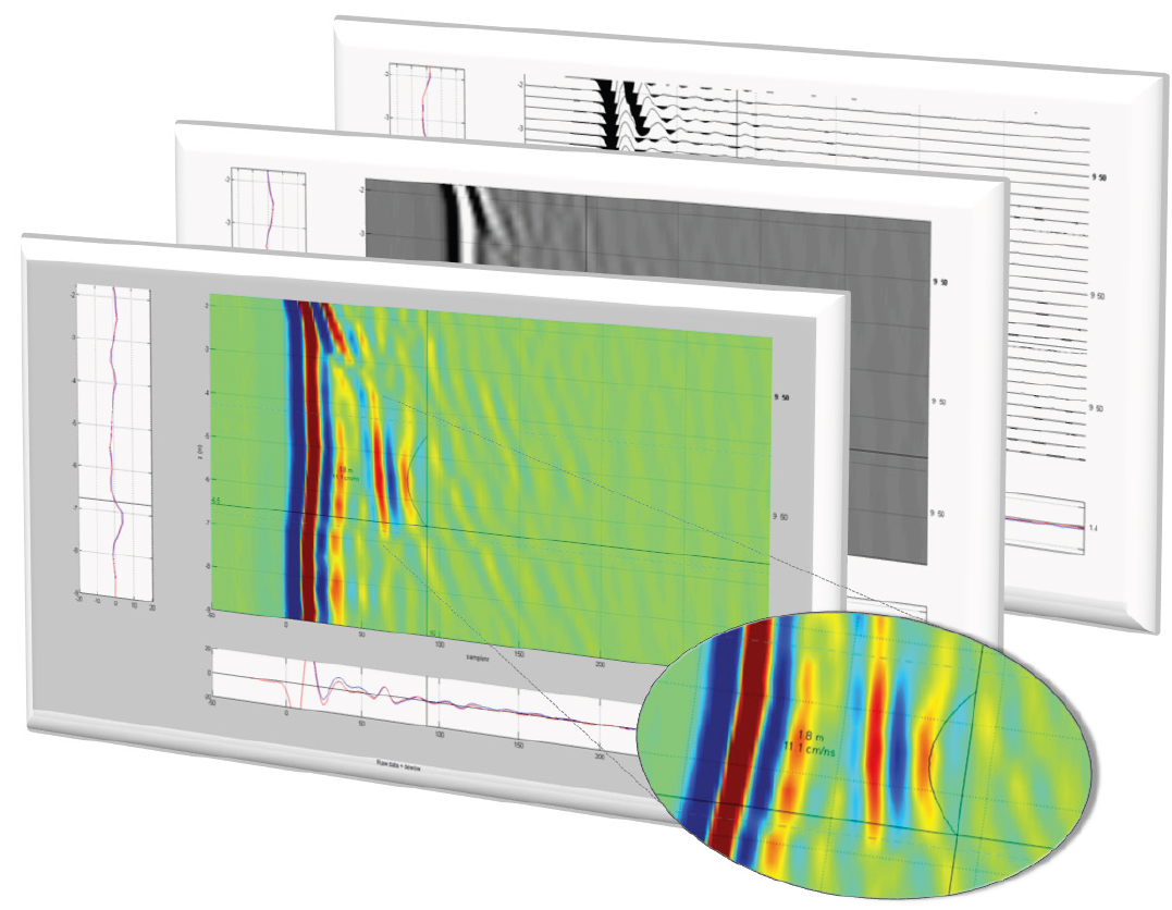
Data Processing Software
Collected data is displayed, processed and interpreted using T&A’s property software TISAMap, providing unsurpassed accuracy and clarity of the results.
Option: two boreholes
Transillumination mode measurements, with transmitting and receiving antennas in two different boreholes, extends the area of application.
Projects and case studies
The TISA 2D Borehole Radar has been successfully used in a wide range of projects: from detection of sinkholes to the detection of UXO and concrete walls. In Europe, TISA 2D is mostly used for the detection and identification of World War II UXO. In areas where explosives are located, the TISA 2D can be used to detect UXO, metal objects such as underground storage tanks or steel drums.
Software TISAMap
TISAMap is the specifically designed software package to display, process and interpret radar data recorded with TISA 2D.
 T&A Survey’s TISA 2D is a simple, safe and clear way to receive data about the subsurface. The TISA 2D can be used in various shallow and deep underground applications where surface radar operation is not feasible.