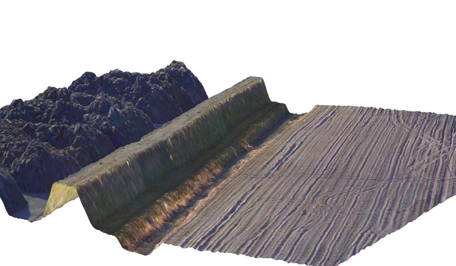
 The Laser imaging Detecting And Ranging (LiDAR) technology uses laser pulses to determine the distance to an object. The technology is comparable to radar, but where radar uses radar waves, LiDAR uses light waves. Since the wavelength of laser light is much shorter than radar waves, LiDAR is able to detect much smaller object. Also, its short wave length makes LiDAR relatively insensitive to surface vegetation.